 >
>
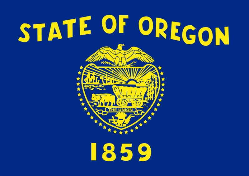
Oregon
Basic Information
Postal Abbreviation: OR
Natives: Oregonian
Population 2020:4,237,256
Legal Driving Age: 16
Age of Majority: 18
Median Age: 38.4
State Song: “Oregon, My Oregon”
Lyrics: J.A. Buchanan
Music: Henry B. Murtagh
Median Household Income:$59,393
Capital..... Salem
Entered Union..... Feb. 14, 1859 (33rd)
Present Constitution Adopted: 1859
Nickname: Beaver State
Sunset State
Motto:
“Alis volat Propriis”
(She flies with her own wings)
Origin of Name:
Possibly taken from the Spanish for “wild sage” or the French Canadian for “storm or hurricane” (refering to the stormy Columbia river).
USS Oregon
Railroad Stations
Oregon Economy
AGRICULTURE: cattle, hay, milk,
vegetables, wheat, wool.
MINING: diatomite, sand and gravel
and stone.
MANUFACTURING: electronic
equipment, food processing, lumber
and wood products, paper products.
![]()

Oregon Geography
Total Area: 97,093 sq. miles
Land area: 96,002 sq. miles
Water Area: 1,091 sq. miles
Geographic Center: Crook
25 mi. SSE of Prineville
Highest Point: Mount Hood
(11,239 ft.)
Lowest Point: Pacific Ocean
(sea level)
Highest Recorded Temp.: 119˚ F (8/10/1938)
Lowest Recorded Temp.: –54˚ F (2/10/1933)
The state is crossed by a number of mountain ranges. Along the coast there is the Coastal Range which has peaks as high as 4,000 feet. The Cascade Mountains are a continuation of the Sierra Nevadas. The highest point in the Cascades is Mount Hood (11,225 feet). Four smaller ranges cross between the two ranges. The Wilamette River Valley is formed by one of those ranges and was the sight of many of the earliest white settlement in the state. The eastern part of the state, which comprises two thirds of the state territory, is high plateau with little rainfall. The major river in the state is the Columbia River.
Cities
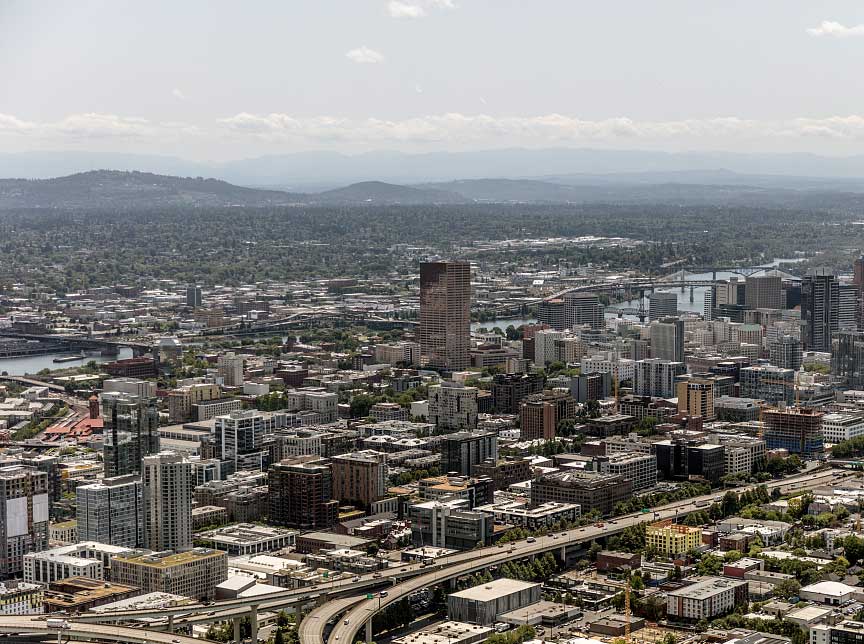
Portland, 653,115
Eugene, 171,245
Salem 173,442
Gresham, 110,158
Hillsboro,108,389
Beaverton,98,962
Bend, 97,950
Medford,82,347
Springfield, 62,979
Corvallis, 58,641
Oregon History
1792 British naval lieutenant William Broughton takes formal possession of the
Columbia River.
1805 Lewis and Clark reached Oregon.
1811 Fort Astoria was established on the mouth of the Columbia River.
1829 Oregon City was founded.
1843 Settlers arriving on the Oregon Trail settle in the Willamette River Valley. 1846 Oregon become a US territory.
1853 Gold was discovered in Oregon.
1859 Oregon was admitted to the Union as the 33nd state.
1902 Crater Lake National Park was established.
• 1980 – Mount St. Helens erupts just north of the Oregon border, covering parts of the state in volcanic ash.
Famous People
Mark Hatfield
Linus Pauling
Paul M. Simon
.png)
Oregon National Sites
1) Crater Lake National Park
The central point of the park is the lake itself. The lake occupies the center of Mount Mazama which is an ancient volcanic peak that collapsed. The lake is deep blue and is circled by lava walls between 500 and 2,000 feet high.
2) Fort Cltasop National Memorial
This was the location that Meriwether Lewis and William Clark and the other members of their party spent the winter of 1805-06
3) John Day Fossils Beds National Monument
This monument tells the story of 45 million years of prehistoric plant and animal life. The site cover 14,030 acres and includes the buildings of the Cant Ranch
4) McLoughlin House National Historic Site
The site was the home of Dr John McLoughlin sometimes known as the “father of Oregon”. He was one of the early settlers as a representative of the Britain’s Hudson’s Bay Company.
5) Oregon Caves National Monument
This National Monument is located in Southwestern Oregon. The temperature in the cave is between 38 to 47 degrees and the walk through it is like climbing a 25 story building.